The Bois Brule River
The Brule River stretches 46 miles from its mouth at Lake Superior to the confluence of its east and west forks. The East Fork of the Brule adds another 1.4 miles and the West Fork adds another 2.4 miles to the length of the river. The Brule is one of the best known rivers east of the Mississippi River and lies entirely within the Brule River State Forest (click on Forest Map for a map of the state forest and the river). For more than 100 years, it has been known as an exceptional trout stream. The Brule River contains resident brook, brown and rainbow trout. Lake-run brown and rainbow (steelhead) trout along with coho and Chinook salmon migrate up the Brule annually from Lake Superior.
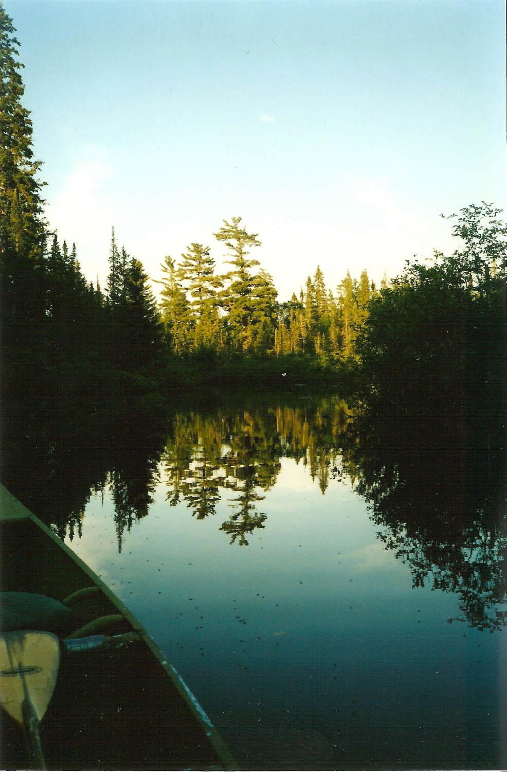
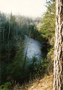
The river itself has 2 distinct personalities. The upper river (the southern portion) flows through miles of coniferous bog and is fed by numerous springs. When the river crosses the Copper Range (the area near Co-op Park), it begins a fall of 328 feet in the 18 miles to Lake Superior. Here, flashing cascades tumble over rocks and ledges and between steep river bluffs forested with aspen and balsam fir. Click on Brule Profile to view an elevation profile of the river, and click on Map with Photos to see how the nature of the river changes from the headwaters to the mouth.
The character of the Brule and its valley were shaped by their glacial origins. The original source of flow was from Glacial Lake Duluth, which formed 11,000 years ago as the ice sheet melted and retreated to the northeast. Lake Duluth occupied what would become western Lake Superior, extending east to the present Huron Mountains and northwest to what is now Thunder Bay. The water level was nearly 150 meters above that of modern Lake Superior, and Lake Duluth drained to the southwest through the Bois Brule and Nemadji valleys, to the St. Croix and Mississippi Rivers (click on Spillway Map for a topographic map of the spillway). As the ice sheet retreated and water levels declined, water stopped flowing to the southeast and the lake drained instead to the east at Sault Ste. Marie with the Bois Brule and Nemadji Rivers reversing directions to flow to the north. The present southern “upper” river occupies a disproportionately wide valley because of its glacial history as the Lake Duluth outlet. This valley holds extensive swamps and cold-water springs that support the Brule’s excellent water quality. The high glacial meltwater flows may also have been responsible for a current scarcity of gravel in the upper river. Recognizing this, our club cooperates with the WDNR to augment gravel beds and enhance salmonid spawning (click on Habitat Management Overview for more details).
River Flows
The U.S. Geological Survey maintains a stream gauge on the Brule that is part of the National Streamflow Information Program. To see up to date information on streamflow, click on Brule River Streamflow. More information about the National Streamflow Information Program can be found by clicking on NSIP.


